sandy reeds

by
par
Kyle Jamison
by
and
Kyle Jamison
by
and
Jesse Boudart

Bay Area

43

mi

km

Distance

distance

70

%

Time Spent Off-Road

temps dépensé sur saleté

5

hrs

Estimated Total Time

estimé temps total

3

Estimated Dismounts

estimé démonter

2.0"

Suggested Tire Size

conseillé pneu de largeur

Novice

Easy

Intermediate

Hard

Extreme

débutant

facile

intermédiaire

dur

extrême

Difficulty

difficulté

sandy reeds

by
par
Kyle Jamison
by
and
Kyle Jamison
by
and
Jesse Boudart

Distance

Distance

43

mi

Time Off-Road

temps dépensé sur saleté

70

%

Estimated Time

estimé temps total

5.0

hrs

Estimated Dismounts

estimé démonter

3

Suggested Tire Size

conseillé pneu de largeur

2.0"

Difficulty

difficulté

Hard

description

la description

Slide down and up ancient seabeds

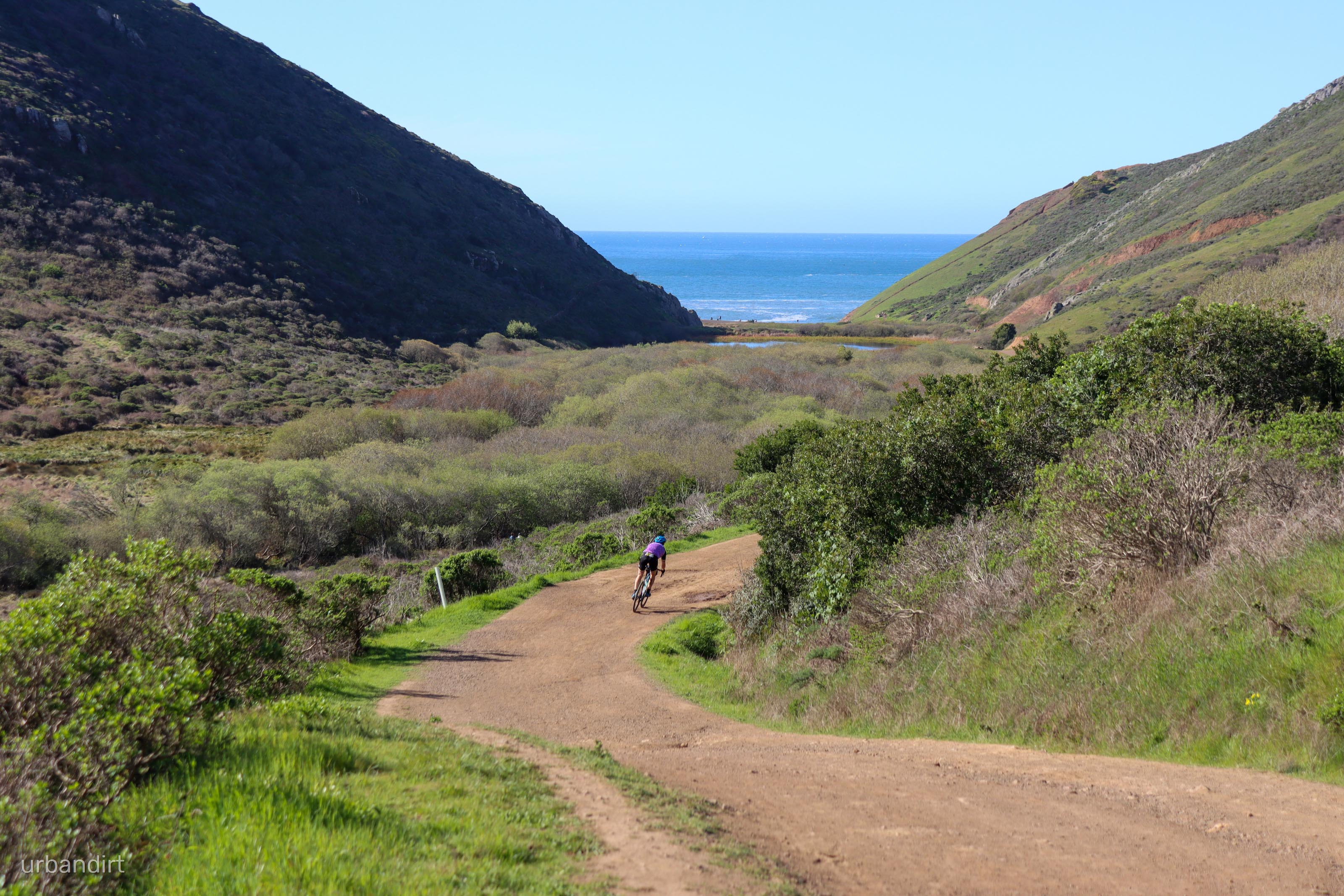
Kick off from your morning beverage and wind through the streets of San Francisco to reach the Golden Gate Bridge. Cross the bridge, summit Hawk Hill, and when you reach the traffic circle, bomb down Coastal Trail into the dirtier side of the Marin Headlands. The sandy trails will climb up and over the headlands while catching some cool views of the ocean and Mt. Tamalpais. Don’t forget to enjoy the singletrack of Miwok Trail! 

On the furthest extent of the wilderness, you’ll ride down Diaz Ridge Trail, a downhill singletrack filled with switchbacks. After that, you’ll need to climb out of Muir Beach, back up the hill on Middle Green Gulch trail to once again reach the ridge that you just descended from. You’ll keep climbing over one more distinct summit, Coyote Ridge, and then it’s smooth sailing back toward San Francisco.

At the bottom of the hill at the Tennessee Valley Trailhead, you’ll take the paved Tennessee Valley Road and later a shared-use, sometimes wooden path along Coyote Creek. You’ll rejoin the paved Mill Valley-Sausalito trail and ride through Sausalito back toward the final climb back up to the Golden Gate Bridge. Battle the crosswinds as you traverse the Golden Gate Bridge again, and then wind back through the Presidio toward your post-ride hangout spot.

published -
9/12/22
  • Marin’s singletrack
  • The beautiful Marin headlands
  • Dirt rollercoasters - plenty of up and down.
  • Some rutted sections
  • Stairs on Old Springs Trail
  • Hikers are around!

  • Muir Beach
  • Tennessee Valley

  • Low water availability

sandy, loose, hardpacked dirt
No items found.
highlights-chevron

highlights

  • Marin’s singletrack
  • The beautiful Marin headlands
  • Dirt rollercoasters - plenty of up and down.
highlights-chevron

what to know

  • Some rutted sections
  • Stairs on Old Springs Trail
  • Hikers are around!

highlights-chevron

points of interest

  • Muir Beach
  • Tennessee Valley

highlights-chevron

food / hydration

  • Low water availability

highlights-chevron

terrain

sandy, loose, hardpacked dirt

route map

la plan de route

photos

No items found.